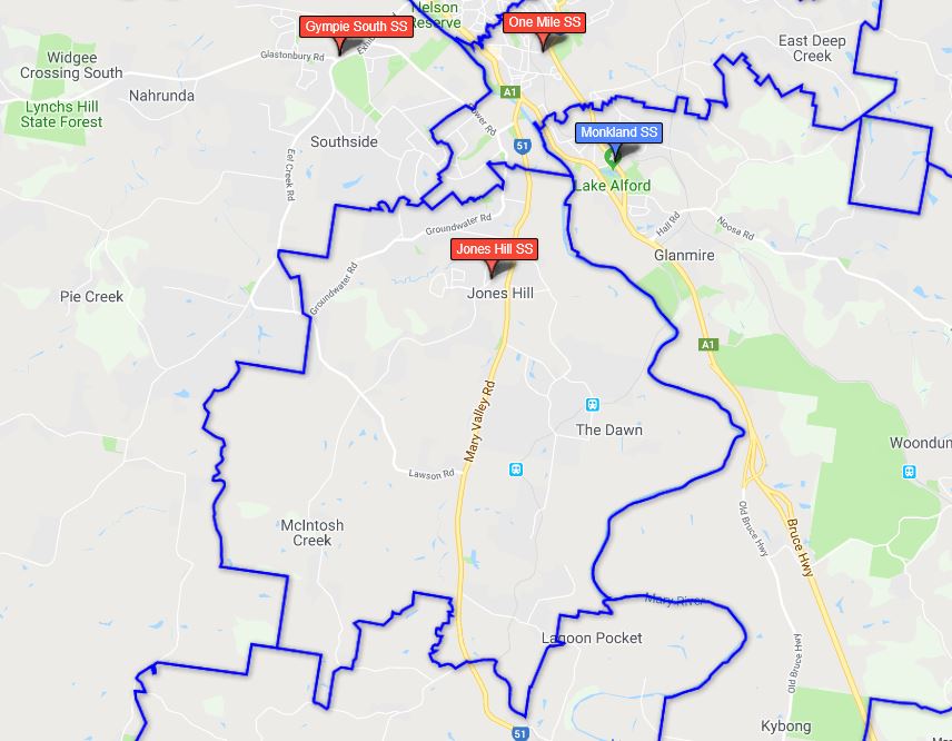
A school catchment area is the geographical location where a state school’s core intake of students must live. Catchment areas ensure every Queensland student from Prep to Year 12 is able to enrol at their local state school.
Your local state school (primary or secondary) is the school which is closest to your home. This is measured by the shortest, most direct route by road—to and from the main entrance of the school. Find out if you are in our catchment area by using the EdMap website - you can either search using your home address or enter a school’s name to see if your home is within our catchment area.
Jones Hill Schools catchment area